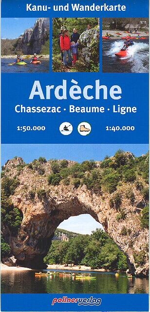
Carte Ardèche, Chassezac, Beaume, Ligne
Reference :
G659 Format :
50x70 cm - recto/verso
Year of publication :
2007
Language(s) :
French, English, German
Area(s) :
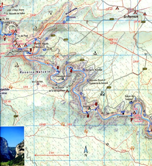
Topographic map of the Ardèche from Aubenas to St Martin and its most important tributaries : Chassezac, Beaume, Ligne.
For each run, the map gives you : distance, grade, campings, rapids.
9 little maps give more detail on the most important rapids of the Gorges de l’Ardèche.
Numerous photographs.
Non-paddling people may use the footpaths : they are here too.
Recto-verso full colours map at scale 1/50.000, and at 1/40.000 for the Gorges de l’Ardèche.
This map is covered by a plastic sheet : you can use it outdoor.


9,95 €