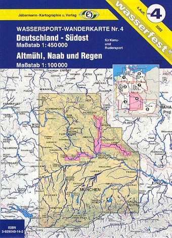
Deutschland Südost
Reference :
G167 Eastern Germany’s topographical and road map at scale : 1/450,000.
The rivers are highlighted and this map also gives for each run its lengh, class, dams, and hazards. Campings, Canoe Clubs and access are given.
All the information needed on the most important rivers (Altmühl, Naab and Regen) are on specific maps at 1:100,000 (their dams are on local maps).
Fourth edition printed on waterproof paper.


