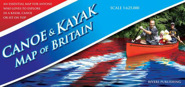
Canoe and Kayak Map of Britain
Reference :
G192 Format :
96x69 cm recto-verso
Year of publication :
2012
Language(s) :
English
Area(s) :
Double sided map featuring the waterways of England, Scotland and Wales.
Scale at 1/625.000
- Detailed road map
- Waterways, rivers, canals and lakes
- Different classes of river difficulty
- Canals and similar navigations
- Selected coastal paddles
- Specialist Paddling Retailers
- Artificial White Water Courses
- Popular Trips.


13,00 €