Randonaute, de Portsall à Penmarch
Reference :
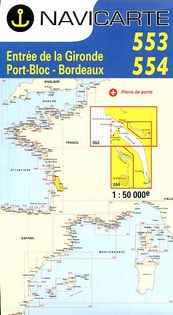
B3 6 detailed maps of Brittany coast at scale 1:50 000 conveniently formated for kayak decks.
Maps are printed on waterproof paper.
Essential to sail along the Breton coasts.

6,90 €