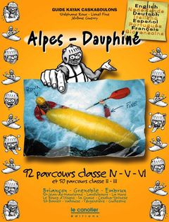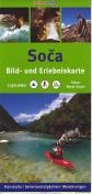
Carte Soca
Reference :
G175 Format :
50x70 cm - recto/verso
Year of publication :
2007
Language(s) :
German, English, Slovenien
Area(s) :
Topographic map of the Soca’s valley.
This map shows all the kayak runs of the Soca and its tributary, the Koritnica.
For each run, the map gives you : distance, grade, campings, rapids.
Numerous photographs.
Non-paddling people may use the footpaths : they are here too.
Recto-verso full colours map at scale 1/50.000.
This map is covered by a plastic sheet : you can use it outdoor.

12,90 €