Navicarte Concarneau - Lorient - Groix
Reference :
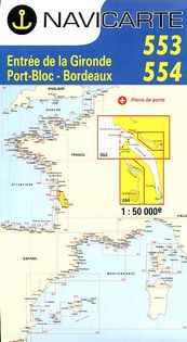
NAV544 Chart of south Britany at scale : 1/50,000. It shows the coast from Concarneau to Lorient. Island of Groix is included.
Navicarte are drawn for yachtmen. They offer colourful maps, large-scale plans of harbours, lighthouses and beacons, tidal diamonds, seamarks. Legend in English.

23,99 €