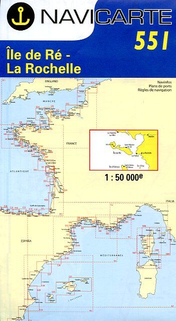
Navicarte Île de Ré - La Rochelle
Reference :
NAV551 Chart at scale 1/50.000 of Atlantic coast from La Tranche-sur-mer to north of Île d'Oléron. It includes Île de Ré and Île d'Aix.
Navicarte are drawn for yachtmen. They offer colourful maps, large-scale plans of harbours, lighthouses and beacons, tidal diamonds, seamarks.

25,75 €