Navicarte Pornic - Noirmoutier - île d’Yeu - St Gilles
Reference :
NAV549 Format :
76x123 cm
Year of publication :
2011
Language(s) :
French, English
Area(s) :
Chart of Western coast of France from Pornic to St-Gilles-Croix-de-Vie at scale : 1/50,000. Included Noirmoutier and Yeu islands.
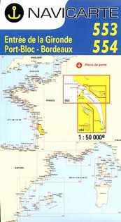
Navicarte are drawn for yachtmen. They offer colourful maps, large-scale plans of harbours, lighthouses and beacons, tidal diamonds, seamarks. Legend in English.

25,75 €